The days get better and better here.
Sleeping by the river is trippy. Went to bed early so I got up early and tossed and turned. Finally got up when Mowgly did and packed up.
We had to cross the creek over a downed tree and it got me nervous. I was literally shitting my pants crossing it, my legs wiggling like noodles, 10 mph water flowing under me. I lept and made it across. That amount of adrenaline was stronger than any cup of coffee.
Immediate brutal 2500 ft climb out of the valley and over another pass. Dropped down into a snowfield and used crampons for a while. Our group is consolidating and I really enjoy hiking with these folks.
We took our sweet time getting to the JMT junction. The landscape gets better and better. We jumped on the junction but first had to glisade down a big chute using the ice axe as a hand break. It was fun, I went first.
We got to the junction right at the mouth of a Meadows with beautiful snowmelt and massive crags overpowering the landscape. It's majestic. It's unreal. I forget I'm in California. We jumped in the icey cold water for a rinse and baked under the sun. It felt good to finally wash all the dirt off of my body.

The juntion to the JMT, dirt trail makes things much easier.
We moved on towards guitar lake with plans to camp there but on our way up day hikers showed us pictures: a completely iced out apocalyptic wasteland. Nowhere to camp. And after sleeping at such high elevations the last few nights I didn't feel like freezing my ass off just to shave an hour off our ascent to Whitney later tonight. earwig, GoPro, and me decided to drop our packs and scout an area up in the snowy hills to bring the rest of the group to camp.

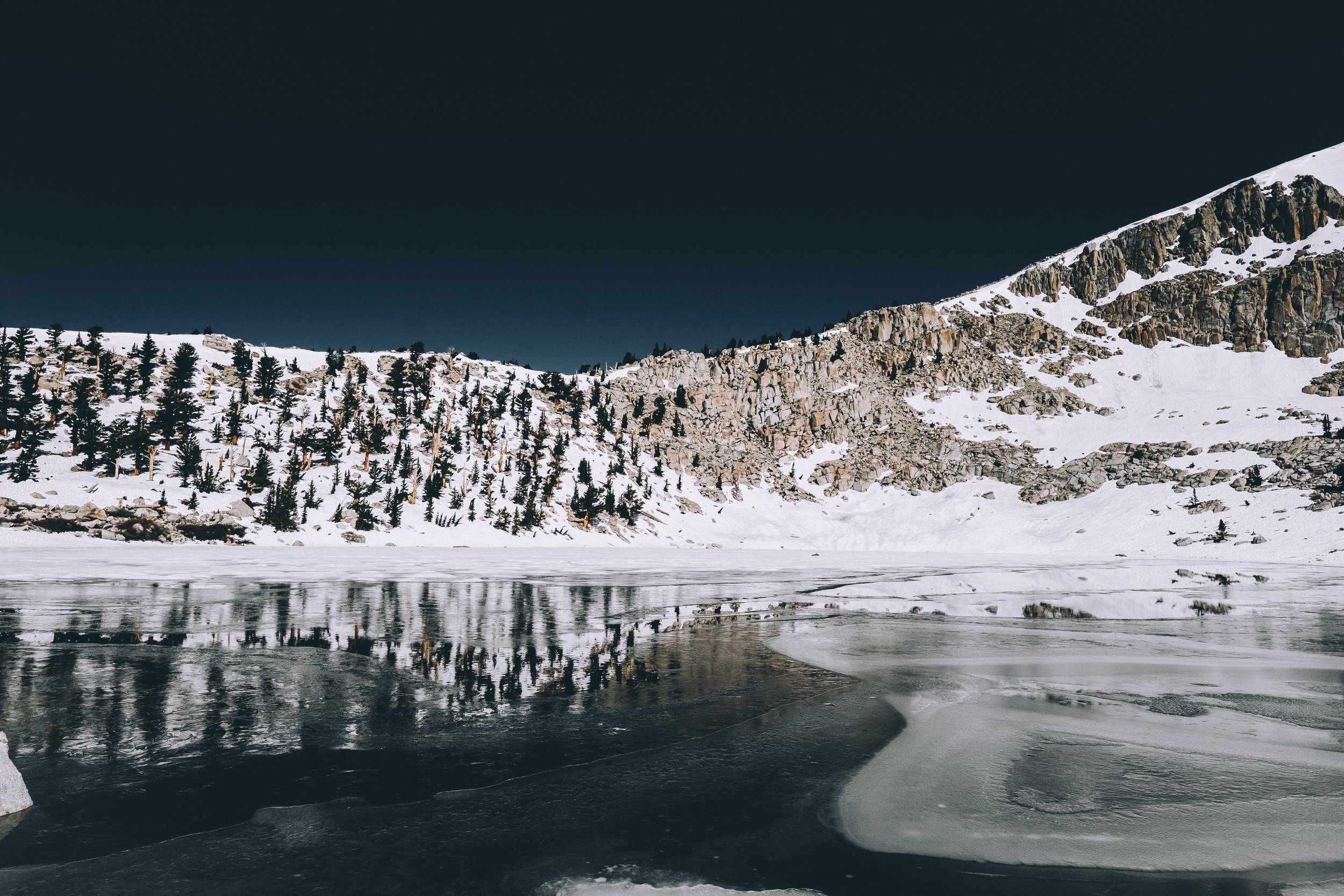
Timberline Lake. Whitney is off in the distances. The following evening we would be hiking through this area in the middle of the night.
It's hard work moving through snow at this elevation, cutting a path where no trail exists. We eventually found a pristine granite cliff side to cowboy camp on. The views are impressive. We plan to wake up at midnight and start the 5 hour ascent to 14,508 ft - the tallest peak in the lower 48. If we make good time, we will see the sun rise.
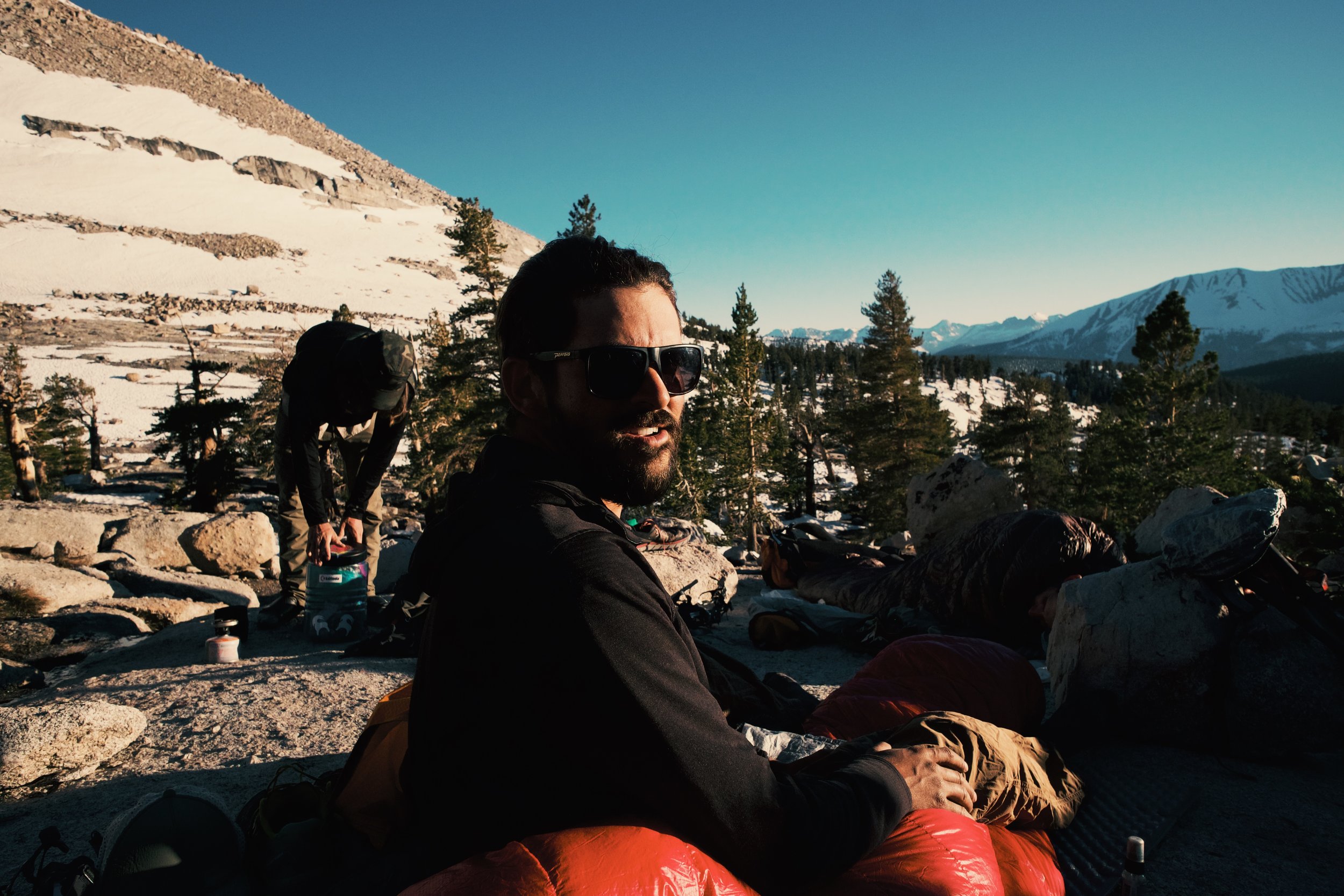
Camping under the stars with a good view